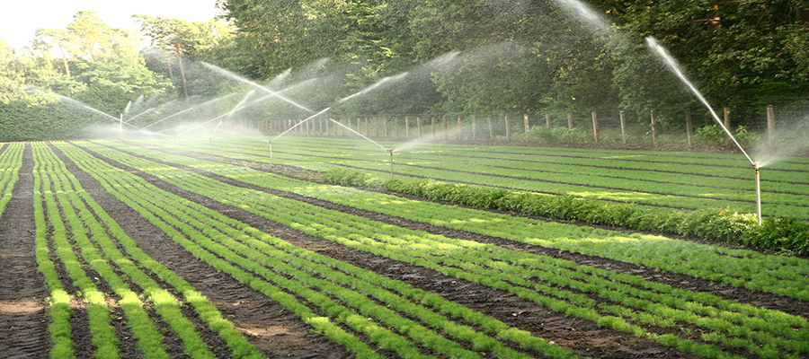


In this century, one of the main objectives of agriculture is sustainability addressed to achieve food security, based on the improvement of use efficiency of farm resources, the increasing of crop yield and quality, under climate change conditions. The optimization of farm resources, as well as the control of soil degradation processes (e.g., soil erosion), can be realized through crop monitoring in the field, aiming to manage the local spatial variability (time and space) with a high resolution. In the case of high profitability crops, as the case of vineyards for high-quality wines, the capability to manage and follow spatial behavior of plants during the season represents an opportunity to improve farmer incomes and preserve the environmental health. However, any field monitoring represents an additional cost for the farmer, which slows down the objective of a diffuse sustainable agriculture.
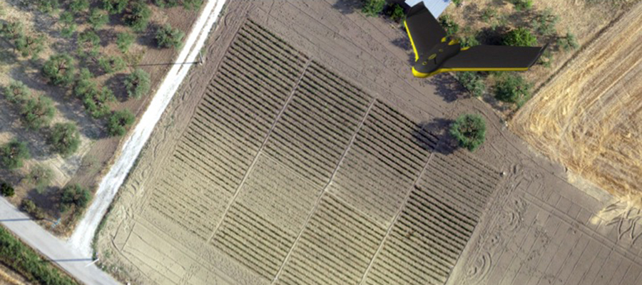
Satellite multispectral images have been widely used for production management in large areas. However, their observation is limited by the pre-defined and fixed scale with relatively coarse spatial resolution, resulting in limitations in their application.
In this paper, encouraged by recent achievements in convolutional neural network (CNN), a multiscale full-connected CNN is constructed for the pan-sharpening of Sentinel-2A images by UAV images. The reconstructed data are validated by independent multispectral UAV images and in-situ spectral measurements. The reconstructed Sentinel-2A images provide a temporal evaluation of plant responses using selected vegetation indices. The proposed methodology has been tested on plant measurements taken either in-vivo and through the retrospective reconstruction of the eco-physiological vine behavior, by the evaluation of water conductivity and water use efficiency indexes from anatomical and isotopic traits recorded in vine trunk wood.
In this study, the use of such a methodology able to combine the pro and cons of space-borne and UAVs data to evaluate plant responses, with high spatial and temporal resolution, has been applied in a vineyard of southern Italy by analyzing the period from 2015 to 2018. The obtained results have shown a good correspondence between the vegetation indexes obtained from reconstructed Sentinel-2A data and plant hydraulic traits obtained from tree-ring based retrospective reconstruction of vine eco-physiological behavior.
Bibliographic note: Remote Sensing of Environment Volume 240, April 2020, 111679
Per informazioni:
Antonello Bonfante
Cnr- Isafom
Via Patacca 85, 80056 Ercolano (Na)
081-7886735
President of the third division of Italian Soil Science Society (SISS): Soil Use and Management.
Member of the regional observatory on precision agriculture (ORADP) of the Campania region.
Vedi anche:
La news è stata pubblicata sul sito del CNR al seguente link https://www.cnr.it/it/news/9270